1
12
Geography
1. THE STUDY OF THE EARTH’S SURFACE
Knowledge of our surroundings has been a human necessity since ancient times. The
science of geography originated from this need. It describes and explains the areas of land
on the Earth.
1.1. Geography, an Earth science
Although there were great geographers in ancient times (Ptolemy, Pliny, Strabo), modern
geography was born at the beginning of the 19th century with the ‘fathers of geography’,
Alexander von Humboldt and Karl Ritter.
Nowadays, there are three branches of geography that are dedicated to describing and
explaining areas of land from different perspectives.
❚
Physical geography
studies the natural environment: relief (origin, material,
landforms and units); climates (types, characteristics, factors that cause them); the
waters (seas, oceans, rivers, lakes and glaciers), vegetation (plant species or flora and
vegetation formations), soils and fauna.
❚
Human geography
analyses the population and its characteristics, including the
different ways land is occupied (towns and cities); how resources are used (economic
activity); transport or social, cultural and political activities. That is, all the human
actions that transform an area.
❚
Regional geography
studies natural units or units transformed by humans. It relates
all the physical and human elements that exist. This branch of geography covers the
study of the continents, countries, units, supranational organisations (for example,
the European Union) or smaller areas such as autonomous communities, regions and
municipalities.
Geography also studies the landscape, which is the result of all the factors that have
affected its formation: human development, land use, environmental impact and so on.
Geography identifies, locates, describes, explains and relates different elements, facts
and phenomena that are produced on areas of land on the Earth.
The
study of the Earth’s surface
has two approaches:
thematic
(general, physical or
human geography) and
spatial
(regional geography).
Primitive societies represented their
surroundings, but the Greeks were
the first to represent the Earth.
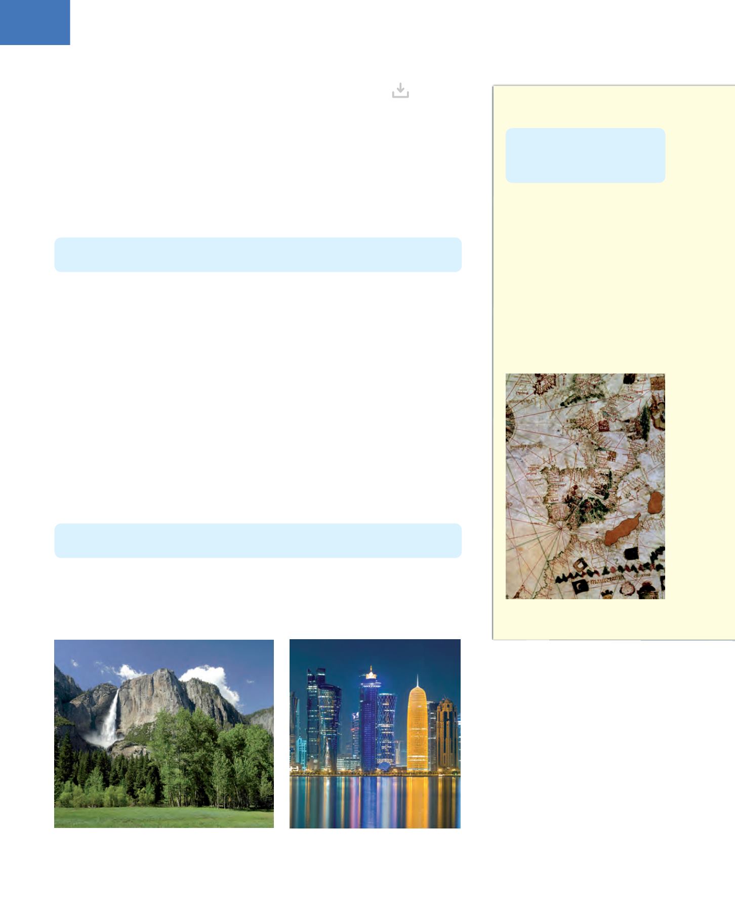
At the end of the Middle Ages,
numerous portolan charts were made,
which showed the coasts in great
detail (especially the Mediterranean
coasts).
After the discovery of America,
there was a great development in
cartography, especially in Flanders
and the Netherlands.
Left: Yosemite falls in California (natural landscape). Right: Doha skyline, capital of Qatar (humanised
landscape)
Cartography
permits
the
representation of geographical
areas, from the smallest areas to
the entire Earth.
The Iberian Peninsula. Detail of a map
from the beginning of the 16th century


