22
Block I.
Geography
9 000 km
0
1:365 378 000
N
1
CONSOLIDATION
33.
Explain the differences between the following terms.
a) Latitude and longitude.
b) Rotation and revolution.
c) A large scale map and a small scale map.
34.
Copy the following in your notebook in alphabetical
order and write definitions.
35.
Write true (T) or false (F) and correct the false
statements in your notebook.
Latitude can be east or west.
The Equator is at meridian 0°.
The Tropic of Cancer is the Northern Hemisphere.
The scale is the ratio between the distance
or surface shown on a map and the distance
in reality.
When it’s summer in Spain it is winter in China.
All of Spain is at longitude west.
South America and Africa cover both
hemispheres; north and south.
In a cylindrical projection, the globe is projected
onto a cone.
36.
Can you name and define the lines on this map?
Write them in your notebook.
30.
Look at the picture of the Solar System on page
10-11 of this unit and copy the following table in
your notebook.
❚❚
Complete the table with the missing planets.
❚❚
What is the main cause of the differences in
temperatures between the planets?
31.
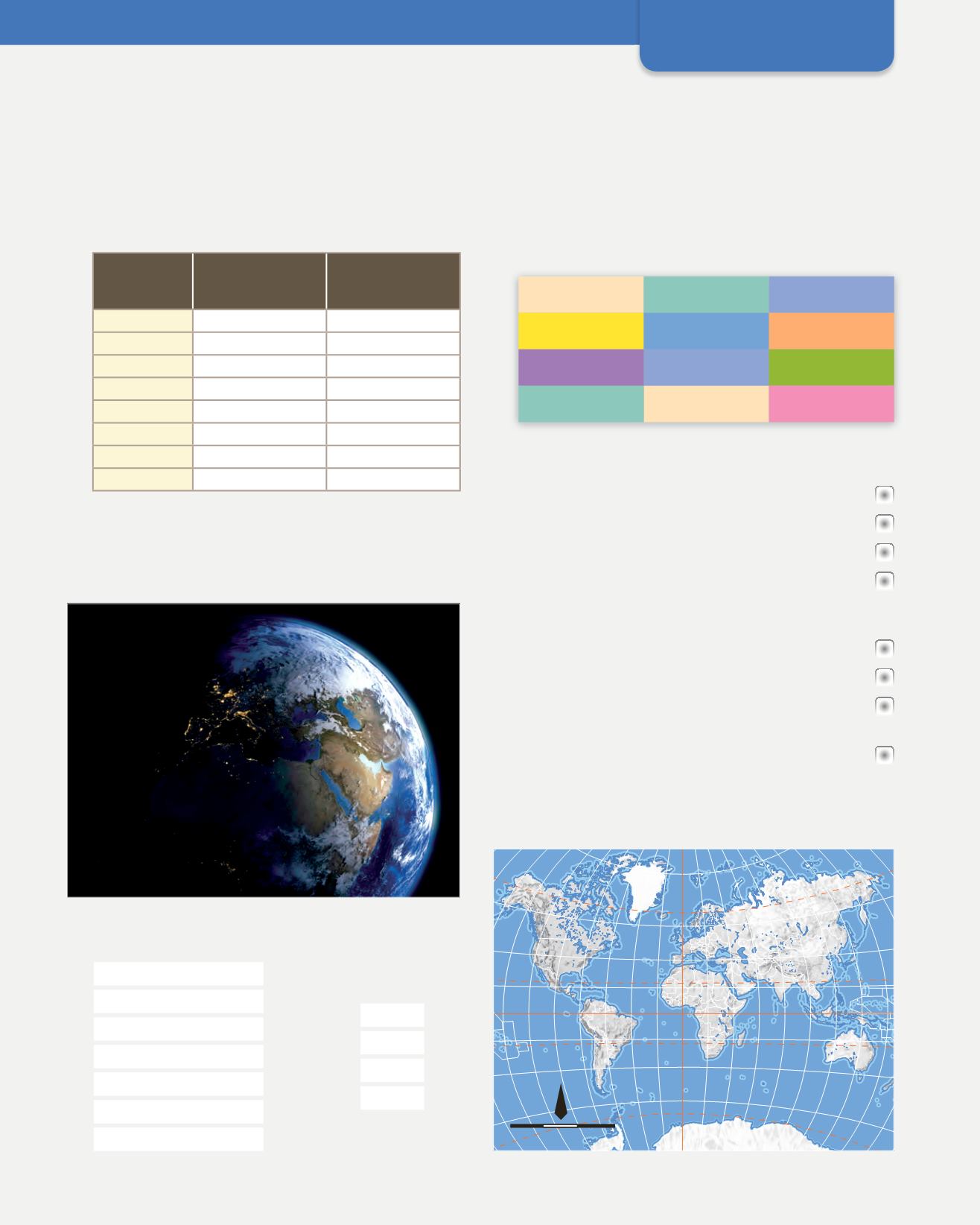
Look at the image of daylight spreading over Asia.
a) Why are the continents on the left in shadow?
b) Describe which regions of our planet can be seen.
32.
Match each area with its corresponding cardinal
point.
SOUTH
WEST
NORTH
EAST
Antarctic Circle
Tropic of Capricorn
southern
eastern
Tropic of Cancer
western
Arctic Circle
PLANET
DISTANCE FROM
THE SUN
(MILLIONS OF KM)
TEMPERATURE
(°C)
58
167
Venus
108
457
Earth
150
14,8
228
−87
Jupiter
778
−121
1426
−139
Uranus
2871
−197
Neptune
4500
−220
Equator
rotation
revolution
scale
parallel
projection
meridian
latitude
prime meridian
longitude
tropics
GMT


